The Blue Line Was Named For Boston Harbor. Now The Sea Threatens The Service
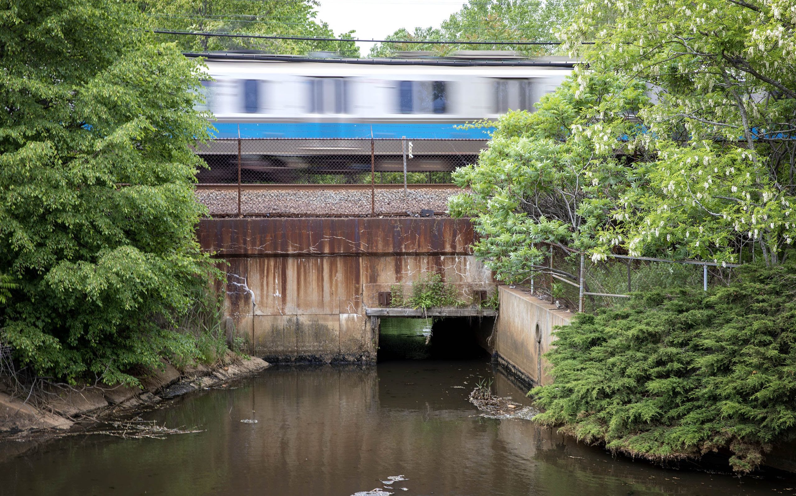
A Blue Line train passes over the culvert next to the DCR Bennington Street Pump Station. Water from Suffolk Downs flows through the culvert into this pond, water flowing in the opposite direction from Belle Isle Marsh, is blocked by tide gates. (Robin Lubbock/WBUR)
Tidal flats and marshland once surrounded much of Boston, swelling and soaking as the rain fell and tides ebbed and flowed. But over the course of the city’s nearly 400 years, those sensitive areas were slowly filled in to make more buildable land, leaving just 200 acres of wild marsh along the border between Boston and Revere.
It’s here at Belle Isle Marsh that the future of the Blue Line could be determined.
On a recent afternoon, Julie Wormser, deputy director of the Mystic River Watershed Association, walked through Belle Isle, an ecological oasis and rare urban wild in Boston.
Read the rest of the story at WBUR’s website.