The 1-2-3s Of Boston’s Rising Sea Level
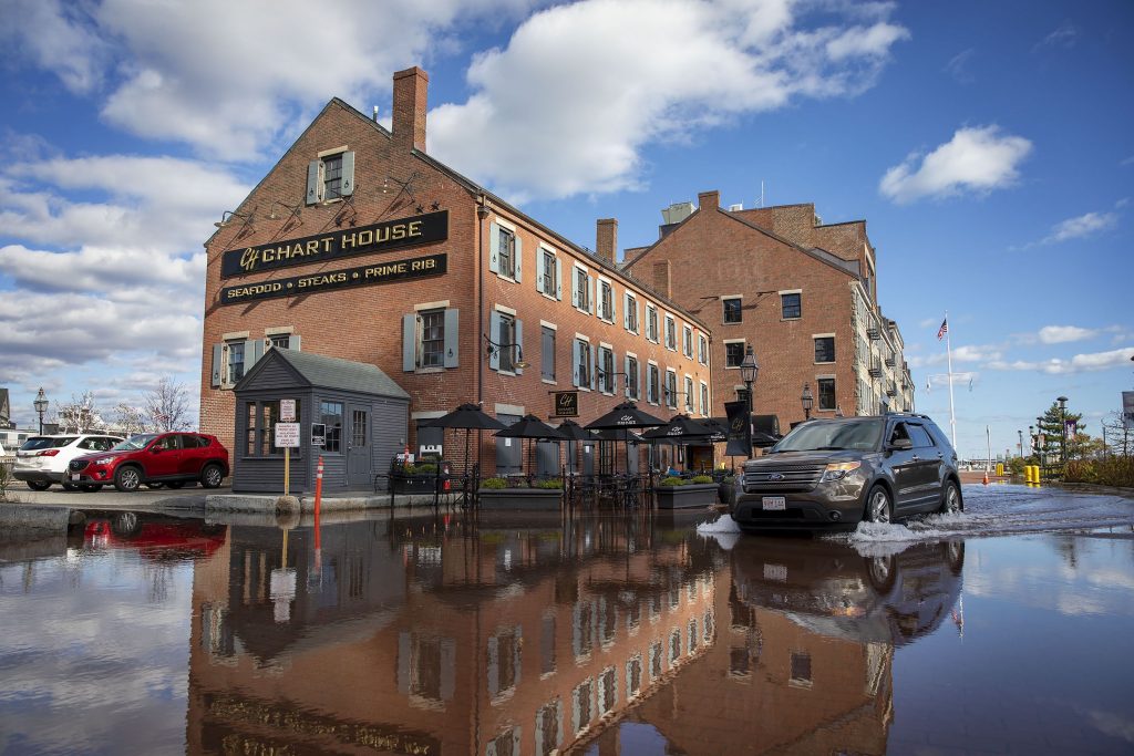
A car drives through flood water by the Chart House on Boston’s Long Wharf during a November king tide. (Robin Lubbock/WBUR)
Boston faces climate change threats from both rising seas and flooding during big rainstorms. These problems are complicated, and they’ll have a profound effect on residents and much of the regional economy.
We cover a lot of this information in WBUR’s series “Boston Under Water,” but to help you wrap your head around the issues, we’re breaking things down by the numbers.
- Sea levels around Boston rise 1 inch every eight years. The rate of rise is accelerating.
- Main Street in Charlestown is being raised by 2 feet to protect more than 250 residents from sea-level rise.
- 3 of the top 5 U.S. cities with the most affordable housing vulnerable to coastal flooding are in Mass.: Revere, Boston and Quincy.