Mapping Project Explores Links Between Historic Redlining And Future Climate Vulnerability
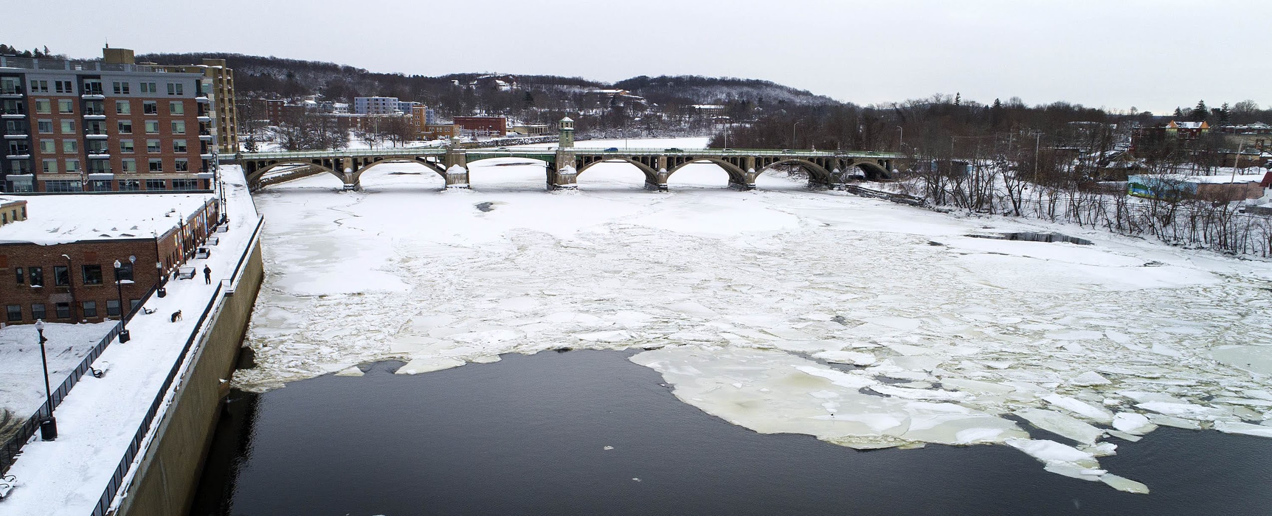
The Merrimack River covered in ice as it passes under Basiliere Bridge in Haverhill. (Robin Lubbock/WBUR)
The rain started just before Mother’s Day, in 2006. It fell for days over the Merrimack Valley, causing the worst flooding in decades.
Water reached to rooftops. Pipes burst in Haverhill, pouring millions of gallons of sewage into the rising Merrimack River. Streets flooded, highways closed, thousands of people evacuated their homes.
Andy Vargas was a teenager at the time, living with his parents in Haverhill. He remembers his dad buying three separate pumps to empty the flooded basement. His grandmother’s house, a few blocks away, was also flooded, with water reaching “almost halfway to the roof,” Vargas recalls. “And you know, buying a $100 pump for families in those neighborhoods like mine can really hurt your monthly income.”
Vargas grew up in a neighborhood called “the Acre.” In federal maps from the 1930s this area was shaded red, or “redlined.” The practice of redlining came about during the Great Depression; as part of an effort to keep households from defaulting on their mortgages, the Roosevelt administration created the Home Owners’ Loan Corporation (HOLC) to offer favorable home loans to certain families.
HOLC hired local real estate agents to make appraisals in cities nationwide, and used that information to make color-coded maps. Neighborhoods with a heavy immigrant population, or even a single Black family, were deemed risky or “hazardous” and shaded red. Banks were advised not to offer mortgage loans to people living there.
Read the rest of the story at WBUR’s website.