Traveling Along America’s ‘Forgotten Border’
Author Porter Fox in the Boundary Waters. Photo by Sara Fox
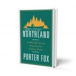
The cover of “Northland: A 4,000-Mile Journey Along America’s Forgotten Border,” by Porter Fox
Our nation’s border with Canada has become increasingly tightened. But because this is the longest international boundary in the world there are a lot of wild places and big gaps where it’s easy to still walk across, undisturbed.
The northern border and the unique landscape of the northern United States that surrounds the border is the subject of Porter Fox’s new book: Northland: A 4,000-Mile Journey Along America’s Forgotten Border. In it, Fox details his own travels along our northern border, a trip he made on foot, by boat and by car along the winding, often remote, U.S.-Canada border, starting in the state where he grew up, Maine.
Interview Highlights
These interview highlights have been lightly edited for length and clarity.
John Dankosky: The line itself and your journey start somewhere off the coast of Maine. Can you describe the start of the border for us? What it’s like there?
Chesuncook Lake in Northern Maine. Photo by Sara Fox
It’s kind of hard to find actually. It’s the easternmost point in Continental America, you can go out to West Quoddy Head near the town of Lubec, Maine, which is the easternmost town in the lower 48. And out at sea, there are no markers, there’s really not much indication of where the border is. It’s classic North Atlantic; slate grey ocean, giant swells, very stormy region, some of the biggest tides in the world are there in fact, and out there there’s lobstermen and fishermen fighting about where the border actually is. It wanders in towards the cliffs, and goes up into Passamaquoddy Bay and the St. Croix River System and wraps around the panhandle of Northern Maine and then shoots west towards the Pacific.
You talk about an island there, Machias Seal Island. It’s a bit unclear who owns it. Why isn’t it completely settled where the sovereignty lies?
It’s pretty indicative of a lot of confusing points along the border. There are about a dozen “gray areas,” they call them. And it’s just where both countries claim jurisdiction. There’s documentation that supports both arguments. Canada goes back to language in royal charters that granted the islands along the coast to Canada, and then after the American Revolution, there was different language in the 1783 Treaty of Paris which gave those islands to the state of Maine and to the United States.
Has it been going on for that long?
It’s been fought over for many many years now, and to be honest, it’s one of those things that when there’s an election when there’s a political event happening, something like that, it pops up into the news. But it’s happened many, many times and they just haven’t resolved it. And this time around, it’s very fertile lobstering ground, so with the decline of the fishery in the Gulf of Maine and end of the cod fishing and a lot of ground fishing up there, Nova Scotia fishermen were looking to make some money so they started setting traps on Machias Seal Island, which had traditionally been American lobstering ground. So that’s where the fighting began and it’s just escalated from there.
Should we be surprised that in 2018 these two countries haven’t settled on where the border is?
Maine’s Mount Katahdin. Photo by Sara Fox
Absolutely. There are sections of the border in Minnesota’s boundary waters that literally weren’t even marked with monuments until the early 1900s. It’s a border that’s been taken for granted.
As opposed to the Southern Border…
You hear a lot of headlines about the Southern Border, a lot of thoughts about every mile of that border and what’s going on there, and yet in the North, there are entire sections of the boundary that are either unmarked or undecided. It’s the world’s longest international boundary, it’s also the world’s busiest international boundary, with 1.6 million dollars in goods and services, 400,000 people legally crossing it everyday. So it’s vital to our economy, it’s vital to our relationship with Canada.
What strikes me is, as you say, there are so many places along that border in which commerce is king. But you’re in a purely wild place there, and I wonder how that strikes you.
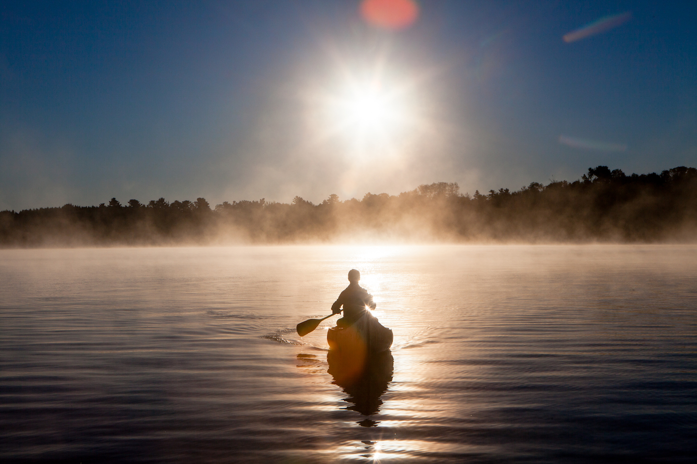
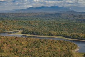
It was the best part of researching this book was finding these wildernesses perfectly intact. Who knew that in Maine, the North Woods are 12 million acres. It’s bigger than two Massachusetts. It’s so huge and untraveled and mostly road-less. I mean really where I went, the only way in there was with a canoe. Before 2001, around half of the border crossings on the northern border were unguarded at night. That’s the kind of terrain that is up there. Very sleepy towns, hundreds of miles of wilderness in between them. You have the boundary waters in Minnesota, Glacier National Park, North Cascades National Park, Maine’s Northern Woods. These are some of the largest most beautiful wildernesses that you either have to bushwhack or canoe into because they’ve sort of been forgotten, like most of the northern border itself.
Can you describe the role that the U.S. Customs and Border Protection plays in the borderland?
Maine’s North Woods. Photo by Sara Fox
CBP states on their website that their primary goal is stopping terrorists from entering the United States, and yet that doesn’t seem to be what they’re doing, certainly not on the Northern border, where the only known terrorist to sneak into the U.S. over land came from the North, there have been significantly more terrorist suspects arrested on the northern border in the last few years according to FBI documents. It makes sense, it’s the path of least resistance.
How many agents are covering the land?
There are huge gaps in this border. 2,000 agents watch this 5,500 mile-long-line. The southern border is less than half as small, and you’ve got more than 18,000 agents down there. There’s just not enough people to do the job, not enough resources to do the job.
So what you see is you see CBP setting up on Highway 95 in Maine, 93 whatever, 100 miles south of the border, 50 miles south of the border doing these spot checks, you see the ports of entry getting militarized and more aggressive with questioning. But if you’re going to just build up these ports of entry and highway crossings and do nothing about the wilderness in-between, it’s not going to stop the problem that you say is your primary task.
Book Excerpt from “Northland”
This is an edited interview from the September 27, 2018 episode of NEXT. You can listen to the entire show right now. Find out when NEXT airs throughout all of New England.